Severe Storms Take Aim at Florida: Level 2 Flash Flood Threat Includes Miami, With a Brevard Emergency This Morning
Vehicles stalled in Palm Bay, 2 to 3 more inches of rain likely through Monday, and saturated ground from Sunday — Florida's east coast, Miami included, sits under a Level 2 out of 4 flash flood threat on Election Eve.
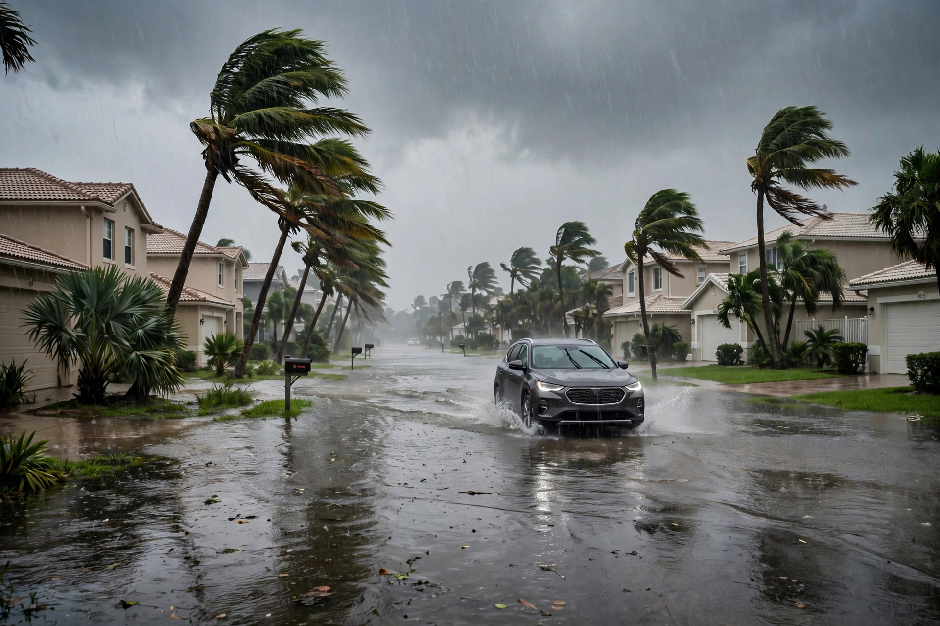
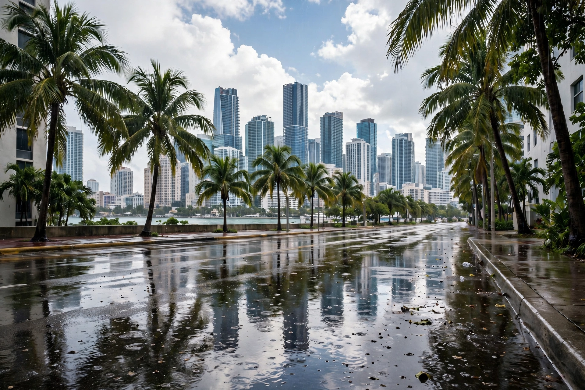
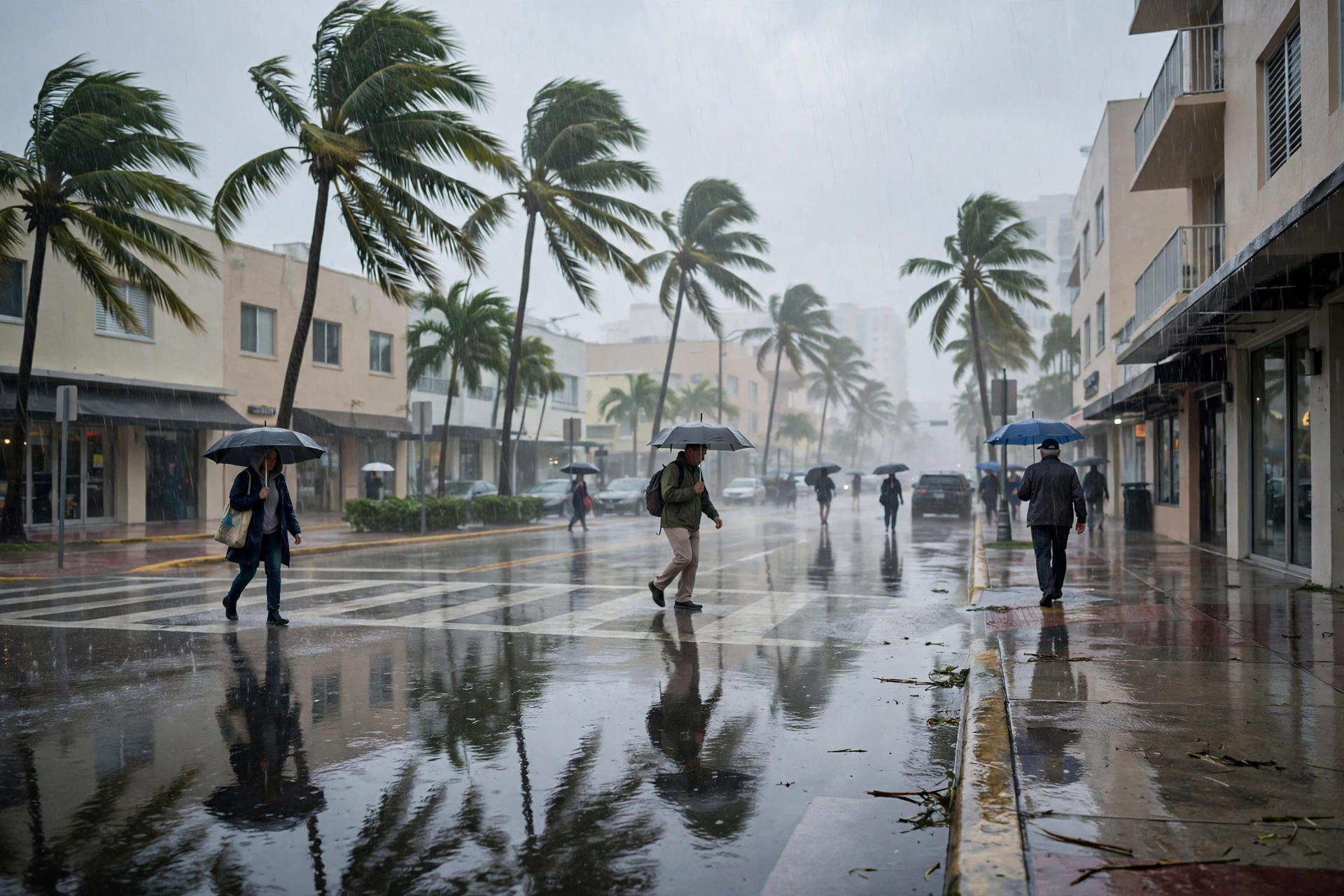
Florida's Election Eve opened wet and, in one county, dangerous. FOX Weather reported Monday morning that a Flash Flood Emergency was issued for Brevard County, with the National Weather Service receiving reports of vehicles stalled in the water in the Palm Bay area; the emergency expired at 11:45 a.m. Eastern. Much of the state's east coast — Miami, Fort Lauderdale, West Palm Beach, Jacksonville, Melbourne and Key Largo named in the report — sits under a Level 2 out of 4 flash flood threat through Monday, with an additional 2 to 3 inches of rain likely through the day and the most intense rainfall fading later in the afternoon.

The mechanism is accumulation, not a single storm. The region was already drenched on Sunday, the FOX Forecast Center noted, so repeated rounds of heavy rain on ground that is more saturated than normal can flood quickly. The threat does not end with Monday's rain: flooding remains a concern into Tuesday, when a Level 1 out of 4 flash flood risk runs from the Space Coast to Miami — Election Day itself — and a coastal threat rides alongside it, with rough surf, dangerous rip currents and onshore waves of 4 to 6 feet or higher along Atlantic beaches. In Melbourne, Burrell College closed its campus for Monday as a precaution.
Miami's own numbers are calmer than Brevard's, and this desk will not pretend otherwise. The station's live Open-Meteo feed at midday read 81.3 degrees, Monday overcast (code 3) at a 36 percent rain chance and Tuesday overcast at 35 percent — a local picture of grey and damp rather than emergency. The statewide threat framing and the local feed can both be true: the flood risk is highest where the heaviest bands train over saturated ground, and South Florida is inside the Level 2 area today and the Level 1 area tomorrow. The driving rule is the one every Florida file ends with: never drive through flooded roads — Palm Bay's stalled vehicles are Monday's illustration of why.