Almost a Foot of Rain in West Melbourne: Florida's Flood Totals Are In, and Miami's Watch Runs Through Tonight
West Melbourne took 11.9 inches in 24 hours, Palm Beach Gardens up to 13, Miami 1.57 — with 3 to 5 inches in Pinecrest and Coral Gables — and the National Weather Service says South Florida's flood watch continues through today, with more rounds coming this afternoon and evening.
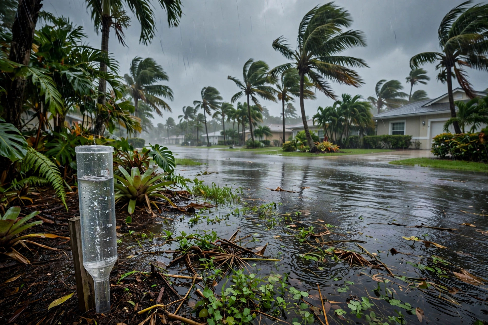
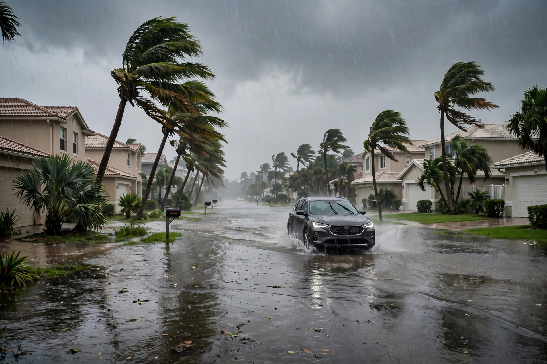
The rain that opened Florida's Election Eve now has numbers. Unofficial 24-hour totals compiled from National Weather Service offices and published Monday by Florida Today put the storm's peak in Brevard County: 11.9 inches in West Melbourne and 7.5 to 9 inches across Melbourne and Palm Bay, where the morning brought a Flash Flood Emergency, stalled vehicles and a countywide school closure — Brevard's sheriff, Wayne Ivey, encouraged residents to stay home unless travel was necessary. Palm Beach County was the second bullseye: 8 to 13 inches in Palm Beach Gardens, especially along the Turnpike in the Belvedere area, and 4.28 inches at Palm Beach's airport.

Miami-Dade's totals are smaller and spottier, which is exactly how this storm has behaved. Miami recorded 1.57 inches, but areas of Pinecrest and Coral Gables took 3 to 5 inches — the difference between a wet day and a flooded street was which band parked over which neighborhood. Elsewhere the map reads Glades and Hendry counties at 6 to 8 inches radar-indicated, Orlando at 1.84 inches since midnight, and Naples at just 0.30. The cause, as AccuWeather meteorologist Nicolas Arman explained it in the same file, is upper-level energy stalled over Florida for 24 to 30 hours, fed by rich tropical moisture in easterly flow around a strong Bermuda high — a pattern the file describes as typical of El Niño.
It is not finished with South Florida. A flood watch continues through today for Miami and West Palm Beach, and the National Weather Service in Miami — meteorologist Chris Fisher, quoted in the file — expects more rounds of showers this afternoon and into this evening, moving slowly and dropping heavy rain; the heaviest rain may not hit the entire area, but the places it does hit could take several more inches. The relief is scheduled, not immediate: the heaviest rain winds down by the end of Monday as the energy shifts east, and a front late in the week is expected to bring much drier weather by the weekend. Until then, the totals above are the argument for the standing rule — never drive through flooded roads.